We suggest you get to know one of the region’s treasures in depth, the Fuenfría Valley, a beautiful enclave with abundant vegetation and numerous streams.
The Fuenfría Valley is an extremely important environmental unit within the Madrid side of the Sierra de Guadarrama. It is administratively located within the municipal term of Cercedilla, and its physical limits are the Minguete hill (2,023 m altitude) and the western end of the Siete Picos (2,138 m).
It is precisely these mountains that partly give Cercedilla that picturesque appearance, especially in winter. The geology of the Fuenfría Valley is made up of granite and gneiss as far as rocks are concerned, and, within the minerals, quartz, feldspar and ferromagnesian can be found. Its vegetation is mainly characterized by the presence of the pine forest. And, finally, its fauna abounds with roe deer, wild boar, badgers and foxes.
 Photo: Antonio Tabernero
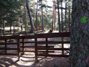
In this area, there is a network of marked trails with which you can explore the area, from short walks to high mountain routes that cater to different levels of difficulty. You will find markings on the trees with circles of different colors, except for the GR10 Long Distance trail, which has international signage with red and white horizontal markings.
We begin with the routes that require a lower level of preparation, pleasant routes that you can take with family or friends such as the ‘Senda Victory’, the ‘Camino Puricelli’, the well-known ‘Camino Schmid’ which owes its name to the hiker Eduardo Schmid, and which links the Port of Navacerrada with the municipality of Cercedilla and ‘Camino del Agua’ which will take you to see quarries and constructions made for the collection and distribution of water.
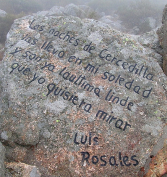
With a medium level of demand, we find the circular route of ‘Los Miradores’, which since 1984 has hosted the ‘Aurrulaque’ mountain march, and which is dedicated to various characters from Spanish cultural life, linked to the Sierra de Guadarrama as Camilo José Cela, Giner de los Ríos or Luis Rosales.
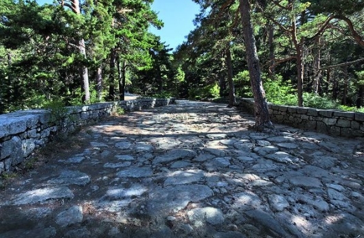
Finally, the most prepared can dare with the routes that, due to their unevenness or duration, require a little more physical preparation. This is the case of the ‘Calzada Borbónica’ built in the 18th century as an access route to the Palacio de la Granja, the ‘GR10’ path, which, although it is linear, has more than 14 kilometres, ‘La Calle Alta’, which must be covered areas where youth camps were installed, or the ‘Pico Majalasna’, whose name refers to the lowest and most separated summit of the Seven Peaks.
 Photo: https://www.senderismomadrid.es
DOCUMENTS: